“Geographies of Power”: An undergraduate research opportunities project
3 January 2024Rachel Herrmann writes:
How do academic historians incorporate undergraduate students into their research processes and questions? This was the question I considered from early summer 2018 to late 2019, when I ran an Arts and Humanities Research Network called “Geographies of Power on Land and Water: Space, People and Borders” with my co-investigator Jessica Roney (Temple University, U.S.).
The network explored how people in the early modern Atlantic World crafted and contested borders on land and water, and resulted in three linked conferences in Philadelphia, Cardiff, and London. As part of our network, we proposed a pedagogical output in which a student would work to think and write about borders in Wales and borders in Welsh-speaking spaces in the Americas.
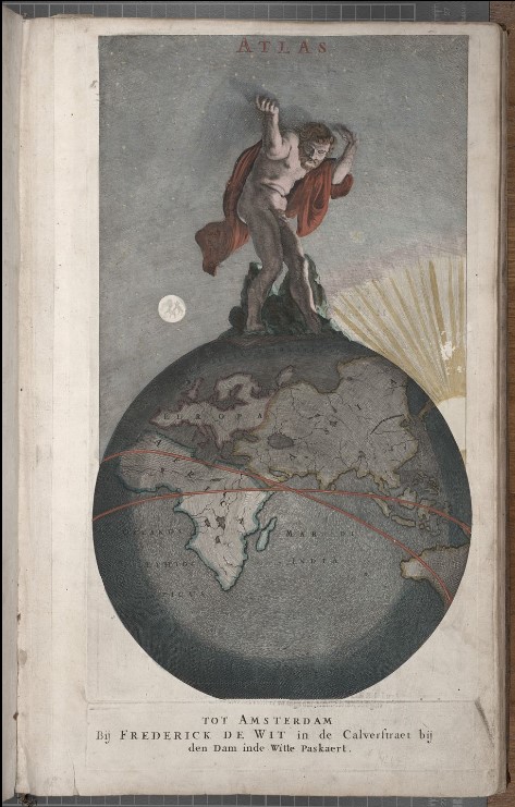
In the summer of 2022, working with Lisa Tallis in Special Collections, we hired Eleri Pearson, a History undergraduate, to take up this project through the Cardiff Undergraduate Research Opportunities Placement scheme, or CUROP. I was interested in how watery and landed borders—mountains, rivers, coasts, and national lines—were described and depicted in eighteenth- and nineteenth-century print media, especially maps, atlases, and travel accounts. Lisa wanted to explore and think more about the maps and atlases in Special Collections. Together, we wanted to hire a Welsh-speaking student who would produce a public-facing project to highlight this material. This year, in my year 3 module on Native American history, I ended up teaching the website that Eleri created to help students think about borders and maps in Native American history.
You can find out more about Rachel’s research on her university’s page People – Dr Rachel Hermann
Eleri Pearson writes
As a history undergraduate and a fluent Welsh speaker, I saw CUROP as an “opportunity” to utilise my Welsh speaking skills on a project related to my studies. Having studied the American Revolution with Rachel piqued my interest in early American history, and I saw Rachel and Lisa’s project as a chance to explore areas of its history that I hadn’t yet examined. I felt as though this project allowed me to work collectively with the archives and a team to guide this resource, while also allowing me to work independently, and occasionally to lead the team. This CUROP placement provided a great chance for me to gain experience working in my specific field of interest and to create a resource that could guide people through understanding maps in a different context.
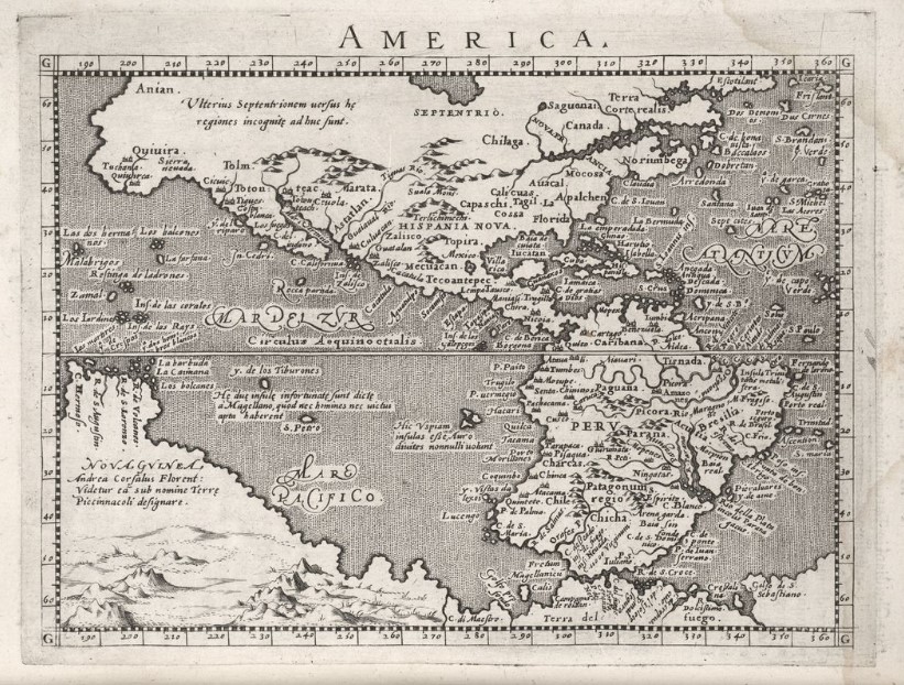
The aim of the website was to introduce students and the public to early Native American history and how imperial use of maps by English and American mapmakers assisted colonizers in attaining land. With little knowledge of how Welsh and British travelers affected the processes of how landed borders were depicted, we hoped to utilise the extensive materials in Cardiff University Special Collections to create an interactive and visual guide. This experience was incredibly beneficial: not only did it allow me to develop my research skills, but it also taught me to understand resources in different ways for different purposes. We used and depicted maps on the website to provide deeper insights into the ways in which empires presented themselves on a local and international stage. We learned that maps can be a social construction of the world through the eyes of empires, countries, and individuals. This project called into question how maps were created and what they were truly used for.
The CUROP project was also a chance for students to present their findings and experiences to faculty and the public. For students looking to gain work experience in their studies and fields of interest these summer projects are of great value. I cannot recommend these opportunities enough!
The CUROP scheme has become known as Research Internships; more information is available on the Intranet.
You can visit the website Geographies of Power here: https://aeh0.github.io/geographies-of-power/
- American history
- Central and East European
- Current Projects
- Digital History
- Early modern history
- East Asian History
- Enlightenment
- Enviromental history
- European history
- Events
- History@Cardiff Blog
- Intellectual History
- Medieval history
- Middle East
- Modern history
- New publications
- News
- Politics and diplomacy
- Research Ethics
- Russian History
- Seminar
- Social history of medicine
- Teaching
- The Crusades
- Uncategorised
- Welsh History